All photographs and scans of HALS documents shown on this website are published here with the kind permission of Hertfordshire Archives & Local Studies.
This page was last updated on: July 27, 2020
LOST 
PROPERTIES
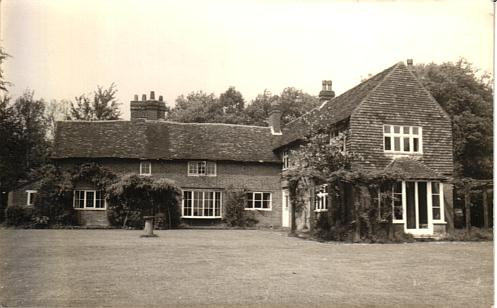
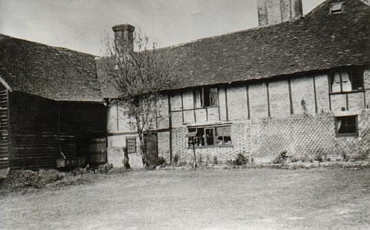
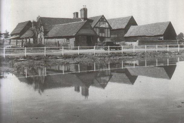
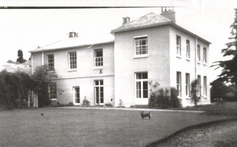
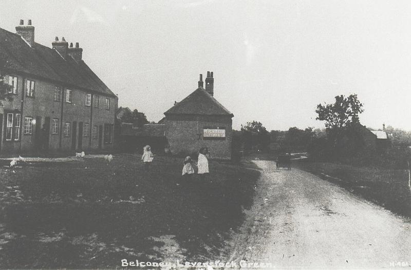
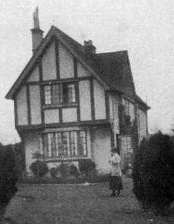
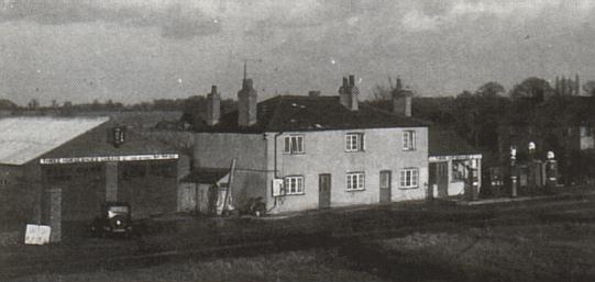
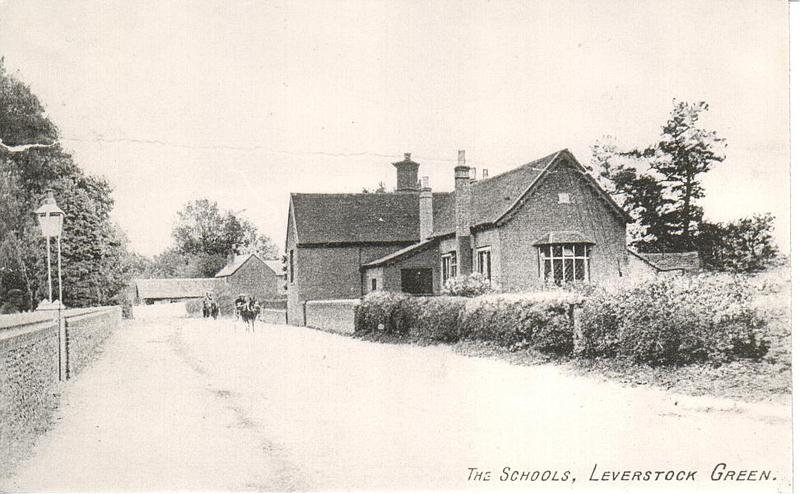
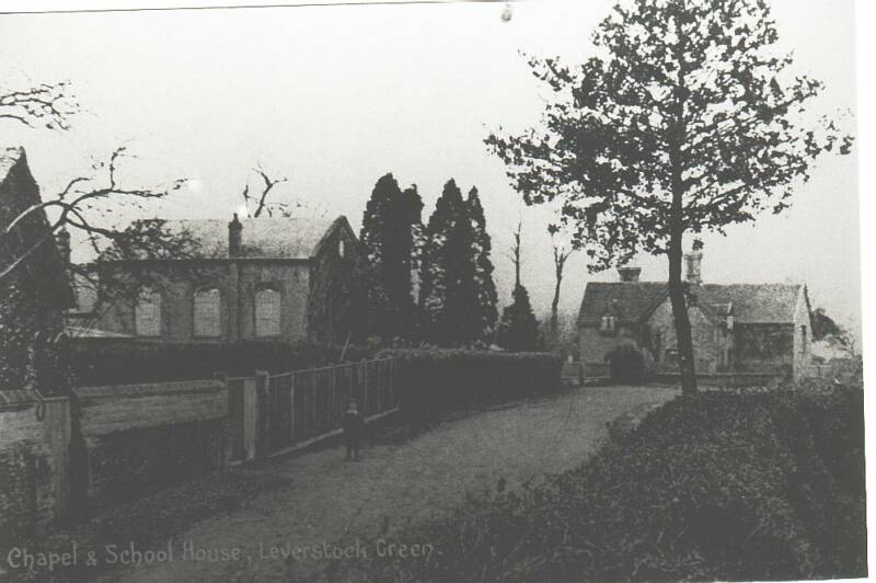
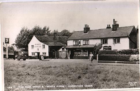
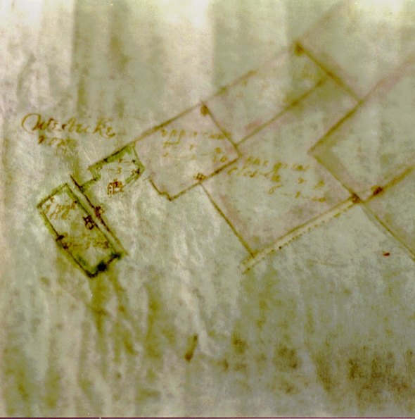
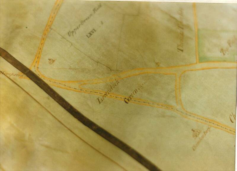
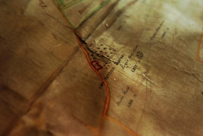
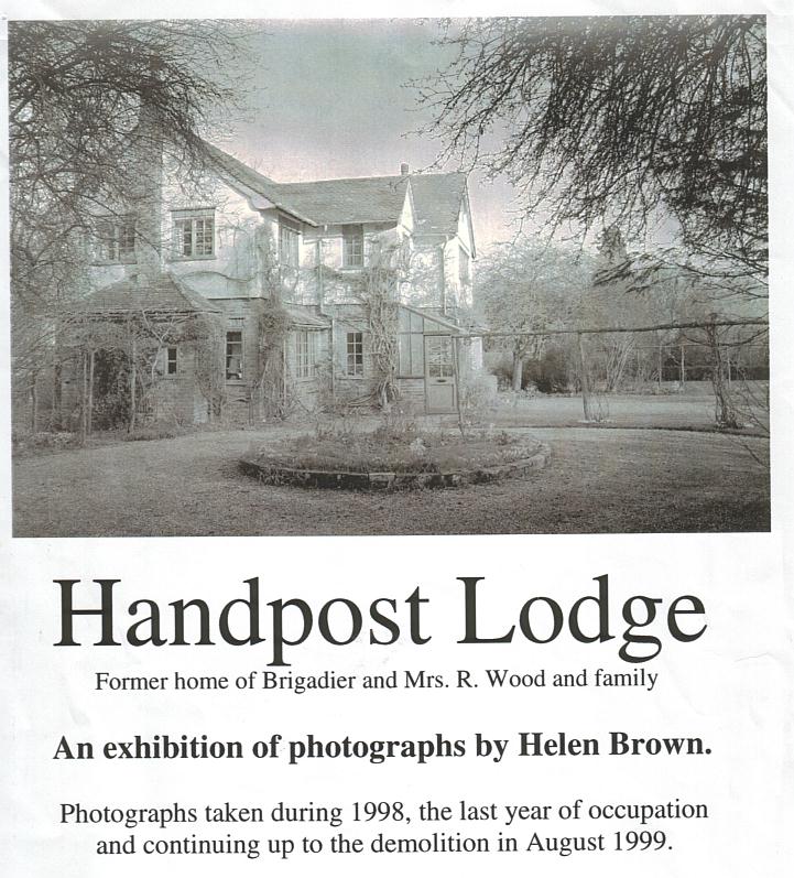
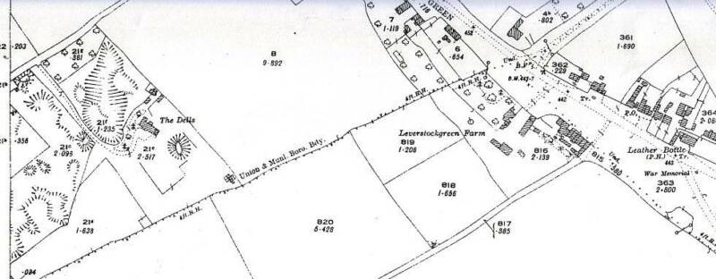
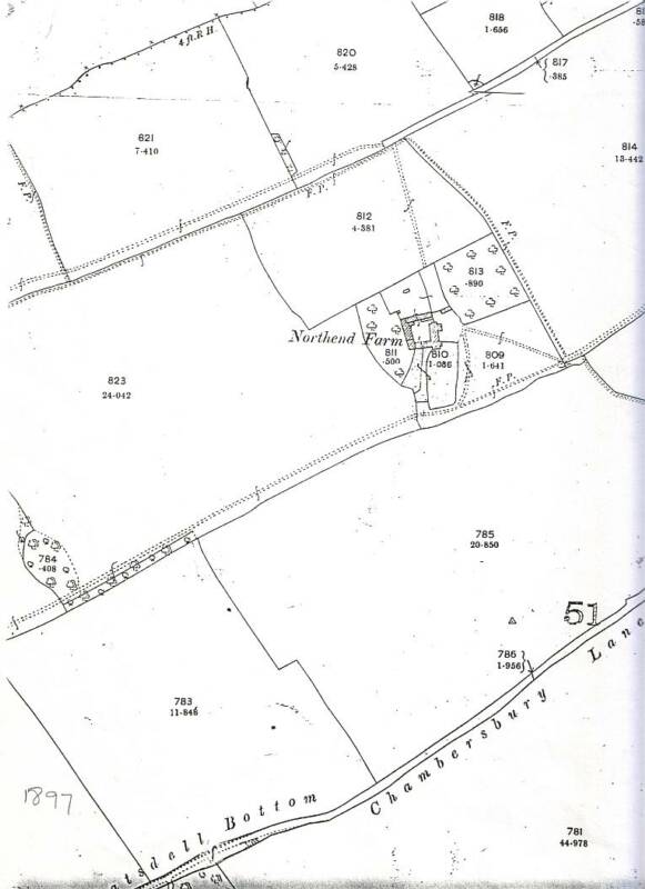
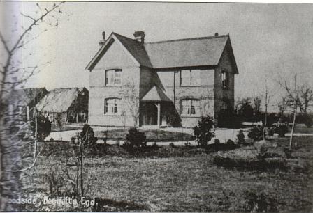
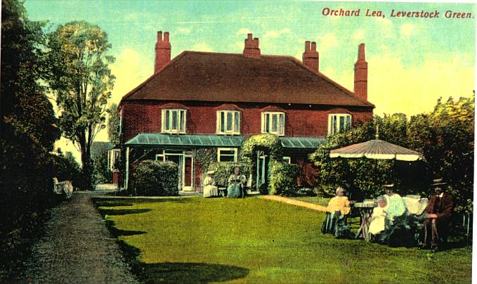
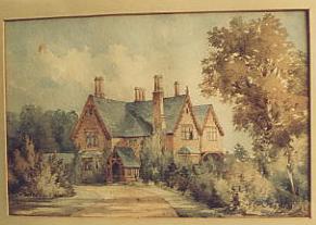
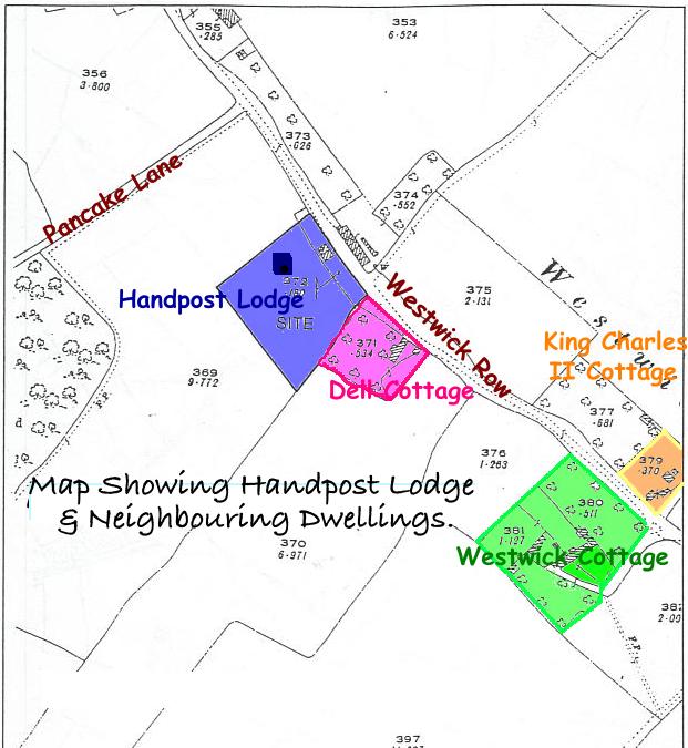
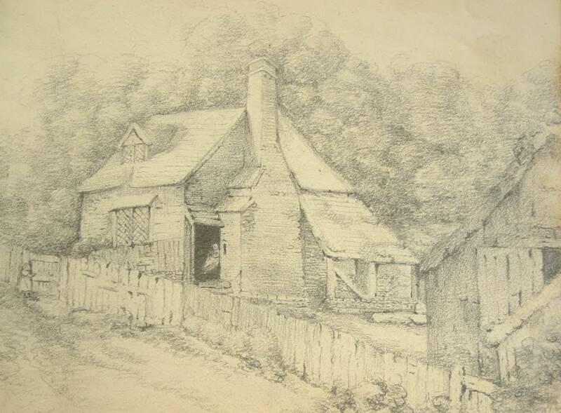
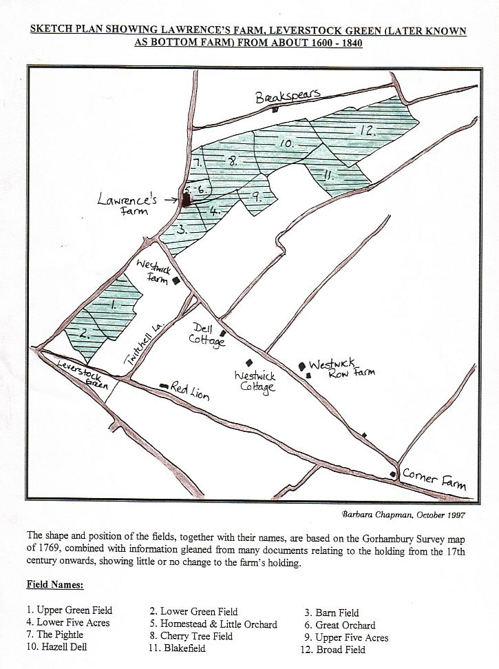
Since beginning my researches into Leverstock Green’s history, I have discovered a large number of “Lost Properties”. That is dwellings and other buildings, which were eventually demolished, and are therefore no longer part of the Leverstock Green scene.  Despite the introduction of Listed Building legislation in January 1950, many properties, which should have been protected, somehow managed to slip through the net.  In other cases they ceased to exist before the legislation came into force.  Others, not perhaps considered at the time worthy enough or of sufficient historical and architectural interest to be saved, were swept away with the development of Hemel Hempstead New Town. The then Editor of  the DHT newsletter requested that readers should submit articles for publication in the newsletter. As a responce to this I decided to write a series of articles on Leverstock Green's Lost Properties and their history.

In early 2006 it was decided by LGVA to publish these articles as a book in order to raise funds for hall improvements. The book was eventually published just before Easter 2006.  By the beginning of the new year the book was sold out completely.  As it would have cost a great deal more capital outlay to have a reprint run, we decided not to risk loosing the substantial profit for the LGVA already made by doing so.

Since then, a slow but steady stream of requests for the book has been made.  Eventually in October 2007 it was decided to reprint - but not in the original format.  Instead we would reprint in-house on A4, still in black & white but for the front cover, and would spiral bind the whole.  It was decided to charge a fee of £5 for this, and in the first month following the decision 24 were printed and 20 copies sold. The LGVA administrator wil continue to print copies to order.  For details of how to obtain a copy click here.  or on the document icon.                                                                                                                                    Barbara Chapman 
Click on titles in NAVY or FOREST GREEN which are underlined, as these have active links to the relevant article and/or other items connected with the property in question. Titles in red have still to be posted and as yet have no active link. One or two, are self contained as insufficient is known to warrant a seperate page.  FURTHER PAGES & LINKS FOR ITEMS 16+ WILL BE ADDED IN DUE COURSE
1. Tile Kiln Farm
The Bessant Family of Tile Kiln.
2.Woodlane End Farm
3. Cox Pond Farm
4.Chambersbury
5. Orchard Lea
6. Logandene
8. The Vicarage/Daneshurst
9. Belconey
10. The Three Horseshoes
11. The Baptist Chapel
12.The National Schools, Bedmond Road 
(The earliest part still remains)
13. The White Horse PH, Post Office and other buildings at the centre of the village.
17. Lawrence's Farm, Green Lane
otherwise know as Bottom House Farm
18. Blackwater Farm/Blackwater Pond House
15.  An Early Cottage on the Green 
(originally part of The White Cottage - corner of Leverstock Green Road and Curtis Road.)
20. "The Old House"
21. The Great Tithe Barn
(demolished 17th Century)
22. Stonards
14. Handpost Lodge
16. The Dells, off Tile Kiln Lane
The Dells is the property in the background, with the gravelpit (see OS map below, taken in 1925) in the forground.
Early 19th Sales of Cox Pond Farms
Woodlane End Farm 1936-1939
19. Northend Farm
7. Woodside
(no link - little known)
Taken in about 1905, this property was off Tile Kiln Lane, aprox. where the end of Marston Close is today.  

In Kelly's Directory of 1933 it was listed as being the commercial residence of George Bailey, farmer.  He was a brother of Joseph Bailey of Chambersbury.
HALS REF: D/EV/F98
RIGHT: HALS ref: D/EV/P2
ABOVE: HALS ref: D/EV/P2
RIGHT: HALS ref: IA 68
RIGHT: HALS ref: D/EV/P2
RIGHT: HALS: D/EV/P1
O.S. 25": 1 mile map extract 1925
Photographs ©  David Clarke
The above survey, HALS IA68 is now thought to have been done by John Aubrey, who also undertook a similar survey for Esher Palace, Surrey.
Right is the only known photograph showing Northend Farmhouse. Copyright Chris Read it shows "Uncle Bob" (Bob Ison) with the farm horse.  The Ison family were tennants at the farm until the development of the New Town, when it was compulsoraly purchased and demolished.
THE LEVERSTOCK GREEN CHRONICLE
A detailed history of one village in Hertfordshire, UK
Click to link to the following
Leverstock Green Chronicle  Maplinks page 
(for large scale and old maps of the area.)

Leverstock Green Pre-history to 1899

20th Century Leverstock Green   Glossary      21st Century Leverstock Green


HOLY TRINITY CHURCH LINK PAGE